Summer 2007
|
|
| vt experience home about features back to summer '07 back to peterpages.net | |
|
My venture crew always goes on some sort of extended trip over the summer. This year we decided to check out the well-reviewed Pamlico Sea Base, specifically their sea kayaking program. I thought it was a fairly good time, but you can decide for yourself. Oh, and I'd like to thank all of our adult advisors for giving me copies of their pictures to pick through. Three viewpoints make for a better overall story, in my opinion. |
Jump to a Section:
Part I - Sunday-Monday
Part II - Tuesday-Saturday
|
Tuesday: Open Water
| ||
| As dawn broke and our 5:30 wake-up time reared its ugly head, we were greated by a large army of thirsty bugs and these unperturbed horses on the island across the way. | 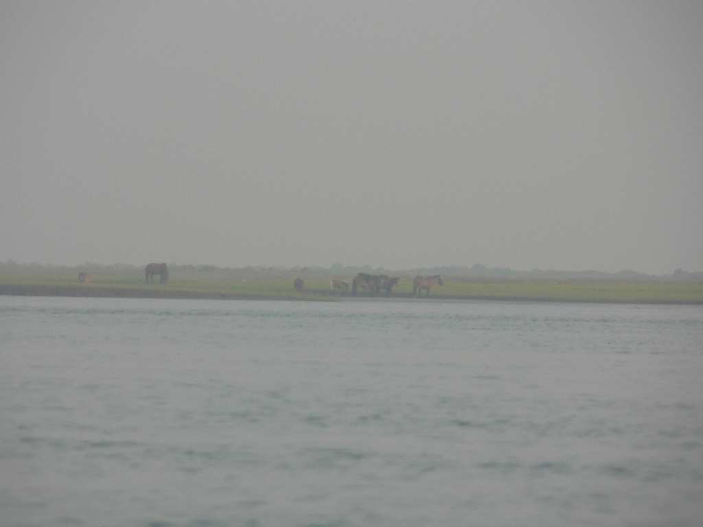 |
|
 |
But after a good breakfast and a remarkably slow breakdown of camp, we were off and away from those bugs with the sun still remarkably low on the horizon. | |
| Here, the group spreads out as it makes its way north with the wind towards our next destination, the first NPS fish camp, in the Great Island Bay across the sound from Davis, if you're still following along with us. |  |
|
 |
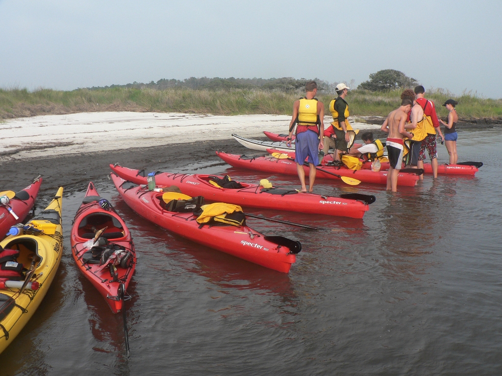
We ran into the first of many sand bars. Here, Reed hikes his boat back to meet up with us after running into trouble while seeking a more direct route. After this point, we learned the value of staying out in open water. | |
| Even that always wasn't enough. Even out in the middle of the sound you could still scrape bottom. It never gets more than 5 or 10 feet deep, averaging between 6 inches and a foot deep in many places. Again, the maps will give you approximate depths, if you care. The white stuff is over 5 feet, the blue stuff is less, the green stuff can be shoals in low water, and the stuff inside the black lines is always land. | 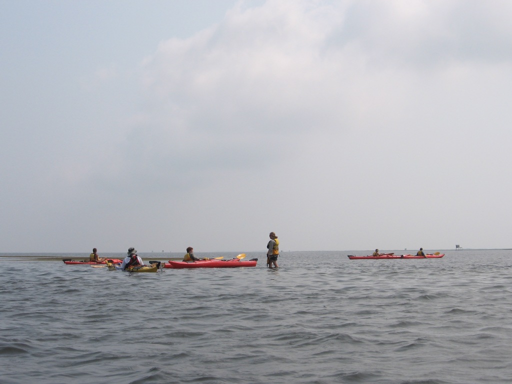 |
|
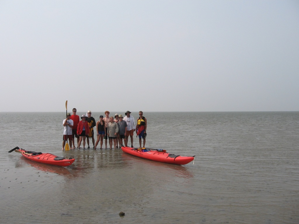 |
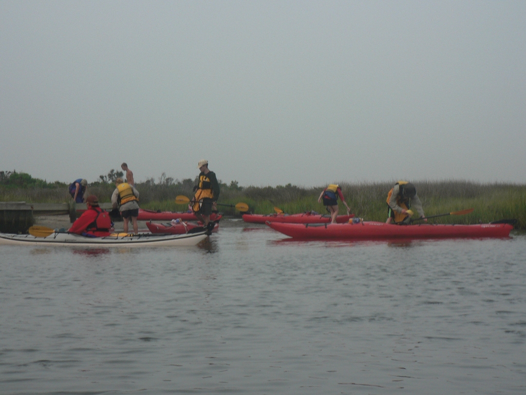
Hey, it's a group photo at the pre-lunch snack stop. We're essentially parked on a gigantic sand bar made from dredged materials, and you can't see land behind us. On the map, this is part of the spoil area near the inlet at the upper right corner of the southwest section, meaning we've made about 12 miles in the 3 hours since our departure. Not great, but with the sandbars we'll take it. | |
| So we kept on going, following this line of duck blinds north towards a destination over the horizon. It's a really weird but neat feeling, just paddling towards something that should be there but that you won't be able to see for another hour, and even then that you will still be 90 minutes away from. | 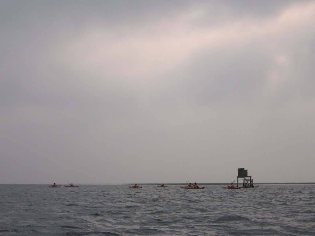 |
|
|
Tuesday Night: NPS Fish Camp
| ||
 |
Remembering our previous bug experience and our tender sunburns after many long hours in the beating sun, long sleeves and long pants were the dress code of the evening. Here, we lounge on the boat dock for all of the fishermen and their gigantic trucks and RVs while the evening's crew of chefs... | |
| ...led by Reggie, cook us a wonderful dinner. | 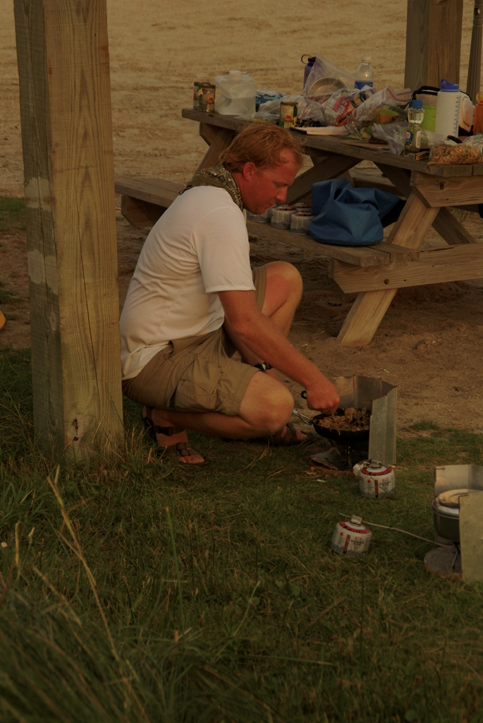 |
|
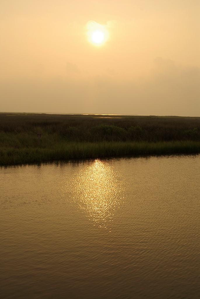 |
Ahh, that night there really weren't that many places I'd rather be. Just check out that sunset. | |
|
And the boats. Just check out that sunset and those boats, that's what I meant to say. Please don't tell the boats I forgot to mention them, they're having self-esteem issues now that the summer's over. Also, they need new caulking. |
 |
|
 |
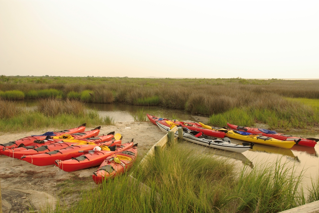
The fish camp operators were nice enough to give us this primo campsite, right near the bathrooms (complete with running - if frigid - showers), that also happened to be located... | |
| ...right on the beach. That's another reason why the evening was so spectacular. | 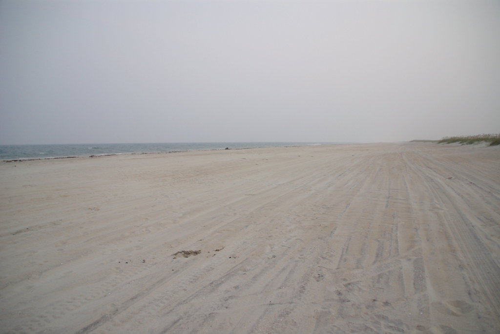 |
|
|
Wednesday: The Long Day
| ||
 |
Surprisingly, the bugs weren't that bad this morning. However, by the time we set off the sun was already giving indications that it was going to be another scorcher. I had on long sleeves to cover my arms, a hat and bandanna for my face, ears, and neck, and a spray skirt to guard my legs. That left my hands unprotected. Even after applying my SPF 60 sunblock a good 8 or 10 times over the course of the day, at every break in paddling, they still got terribly sunburned. It was hott, with two Ts. | |
| Eventually we got to the lunch stop. There are some pictures of the house that was nearby, and people messing around in the mud, but there are already 78 pictures in this album, so let me suffice to say that the tuna was... definitely food. It did the trick. | 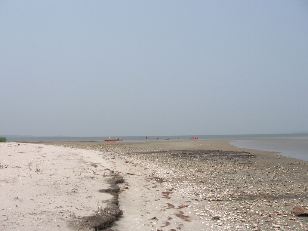 |
|
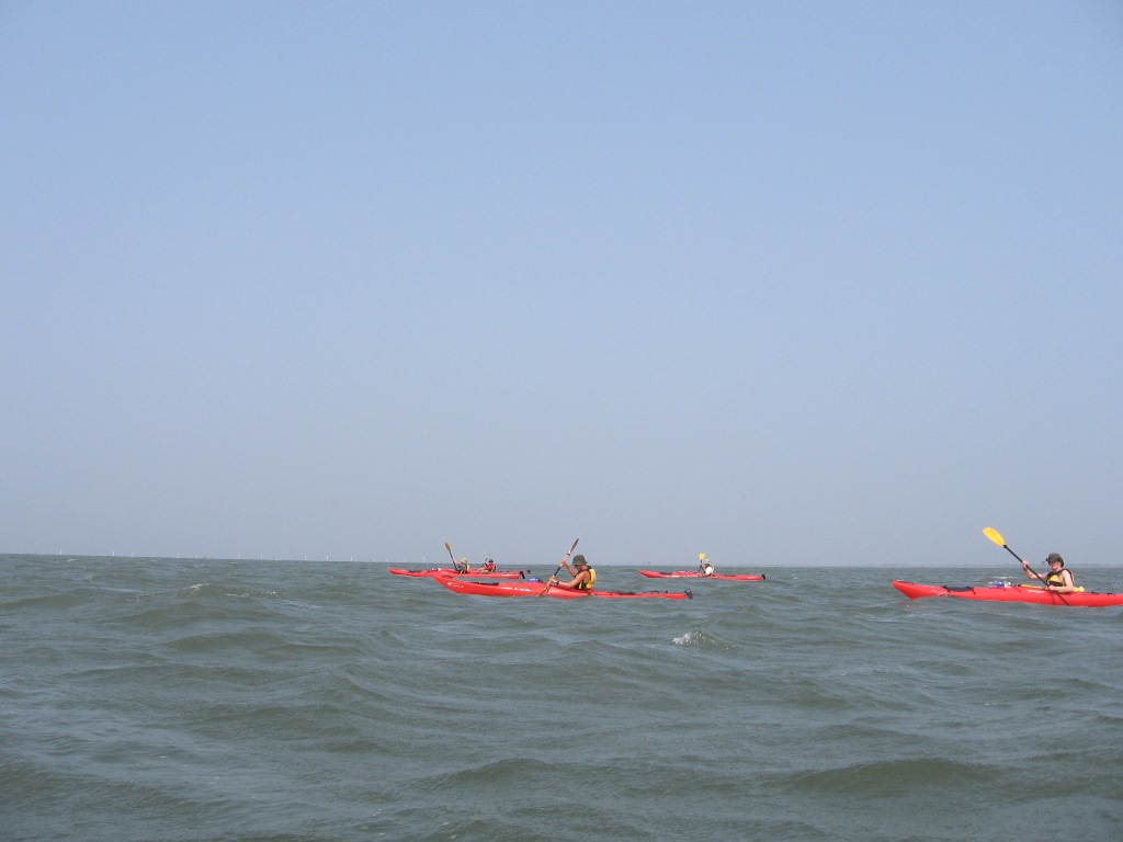 |
And then we began the neverending paddle across open water following only our compass to reach a destination well away from the mainland or the big islands: Shell island. | |
|
Wainwright Island, the Most Desolate Place on the Face of the Earth
| ||
| However, due to a 5 degree error early on and some nasty crosswinds, we wound op on Wainwright island. Do you see it on the map, it's really small, just left of center near a channel marker between Hog island and the core banks? Trust me, it's there. | 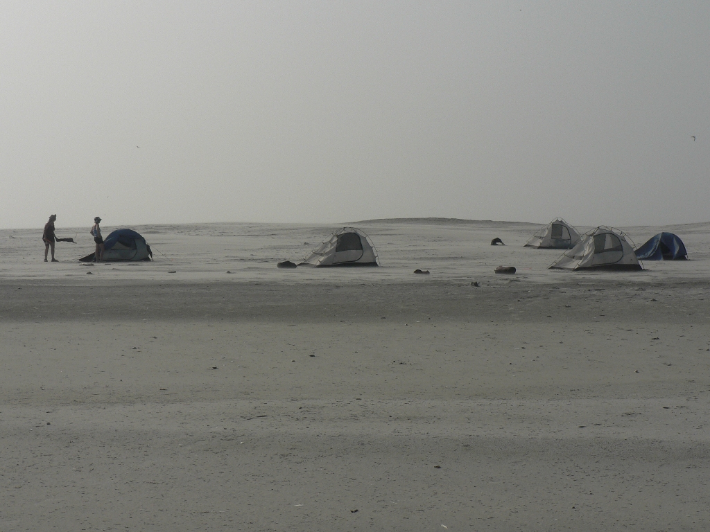 |
|
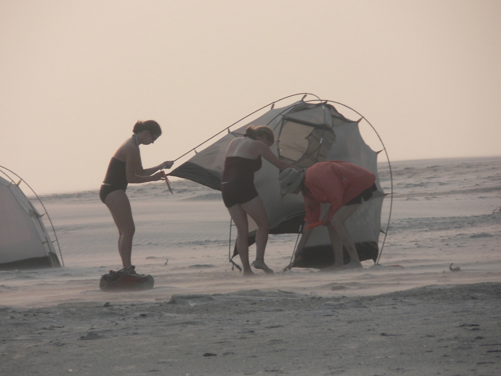 |
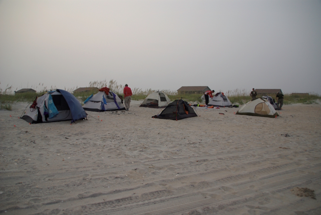
It just happens to be only a big mound of sand from dredging, like our snack stop of the previous day. The only difference is that instead of trees and shrubs, this island had tremendous winds, lots of blustery sand, and roughly six bazillion (I'm an engineering student, you can trust my numerical estimation) birds of various types. The wind was big factor. Here, some of the ladies struggle to move their tents after we discovered that the loose sand of our initial campsite was causing drifts of several inches of sand to build up against and inside the tents.3:44 AM 9/19/2007 Oh boy! |
|
| Because of the delicate nature of making food without getting sand inside it, Reggie cooked for us. Man, he was pleased as punch with how things were going. | 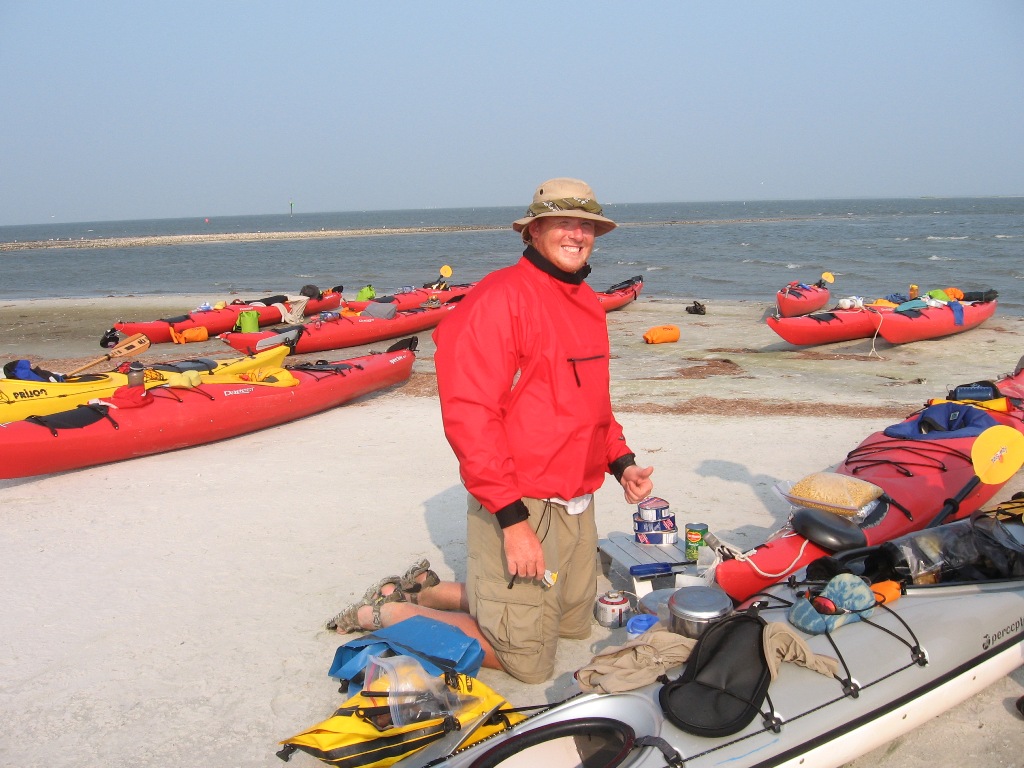 |
|
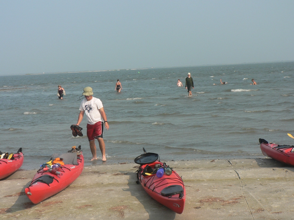 |
So while he took care of that, we all went and hung out in the water... | |
| ...only returning to the boats when we needed them as benches... | 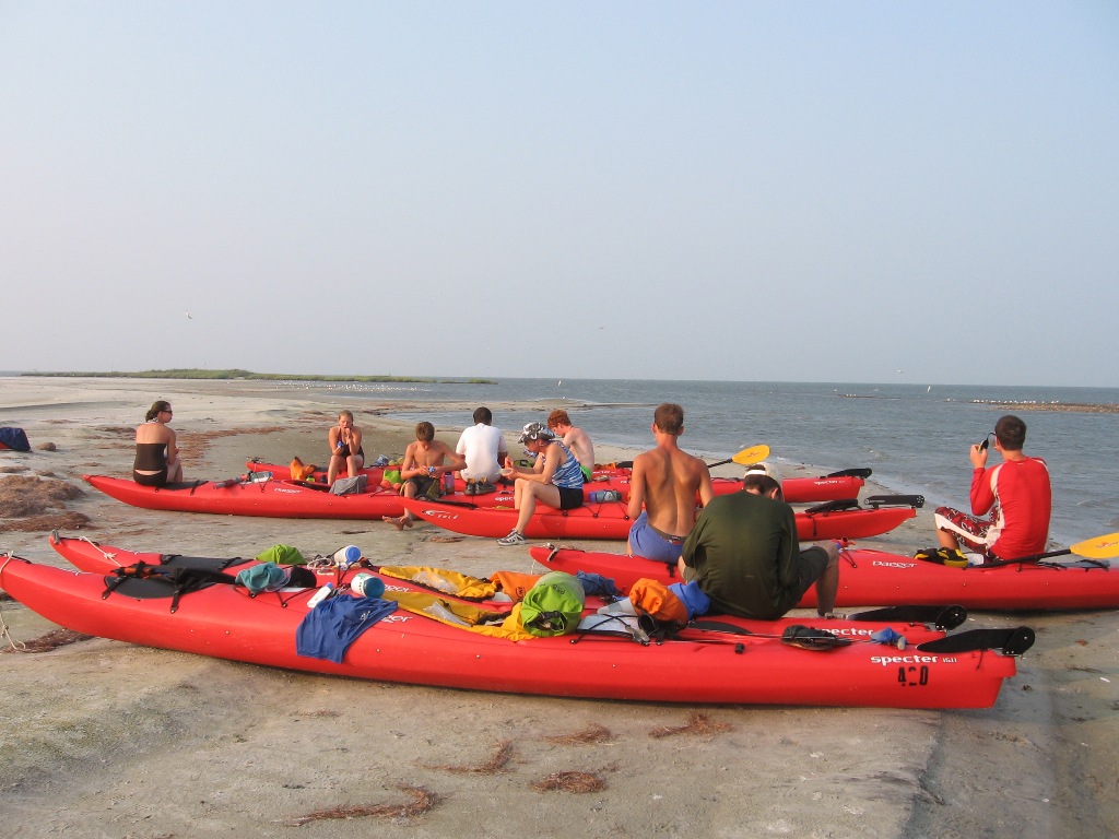 |
|
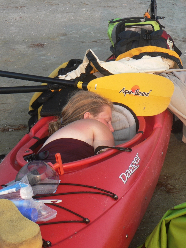 |
...and, in select instances, as beds. A few people even slept inside their kayaks overnight rather than stay in the increasingly sandy tents. Given the winds, we could be sure that insects weren't going to be an issue. | |
| Check out just how desolate this place is. Here Scott pulls a Tatooine-esque manuver, standing at the crest of the hill... er, mound of sand as the sun sets. We just need another sun, and we've got George Lucas all set for another movie trilogy. He's probably just going to the bathroom, but that's not important. Oh, that reminds me: we had a good system for keeping the gendered bathroom options separate, with the ladies off by the steep sided dunes (good for hiding behind) and the gentlemen over by the dead pellican. | 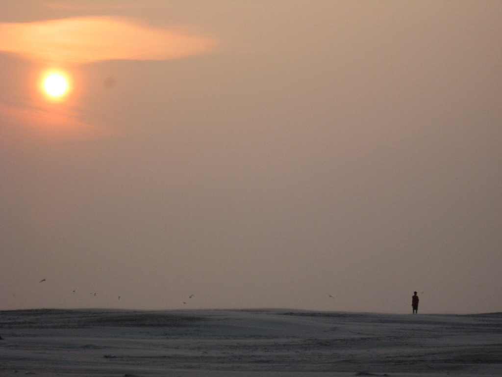 |
|
 |
Check out the crowd's reaction when dessert was called. | |
| Anyways, I'll leave you with yet another sunset picture, as the birds take off to go to the other end of the island, making a lot of noise in the process. Repeat this event 50 times until it is drowned out by the ever increasing wind, and you've pretty much got this evening characterized. |  |
|
|
Thursday: Heading for Home
| ||
Long Story Short:We were going to paddle north across the inlet to Ocracroke today, however when Reggie got up (at 1:30am) and checked his weather radio, he found out that the wind was even worse than when we went to bed and that there were going to be waves of 3-5 feet (that's bad) in the middle of the sound, where we were going to be. So when I got up at 3:30 in preparation for the general wake up at 4, he told me to go back to bed. Eventually, we rounded everybody up around 5:30 and decided not to make the big jump across the dangerously turbulent sound. Rather, we were going to paddle through the shallows (bad) into the wind (worse) to reach the ferry terminal on Cedar Island that we were going to be going to after visiting Ocracroke anyway rather than waiting out the wind. The reports said that the wind was going to stay strong and just change direction, so there really wasn't another option. | ||
 |
So after day broke and things started to become visible, we started the long paddle into the wind to reach our final destination. The treks are designed to move from Cape Lookout to Ocracroke so that you have the wind at your back. By essentially pulling a 180, we were heading straight into the wind coming out of the Southwest. Not necessarily fun. We paused at Harbor Island for a break, then took a long pull up the side of a few marshes to reach the calm behind Hog Island point, at which point we took a well deserved snack break. | |
| One of us (my mom) just plain took a break from things. | 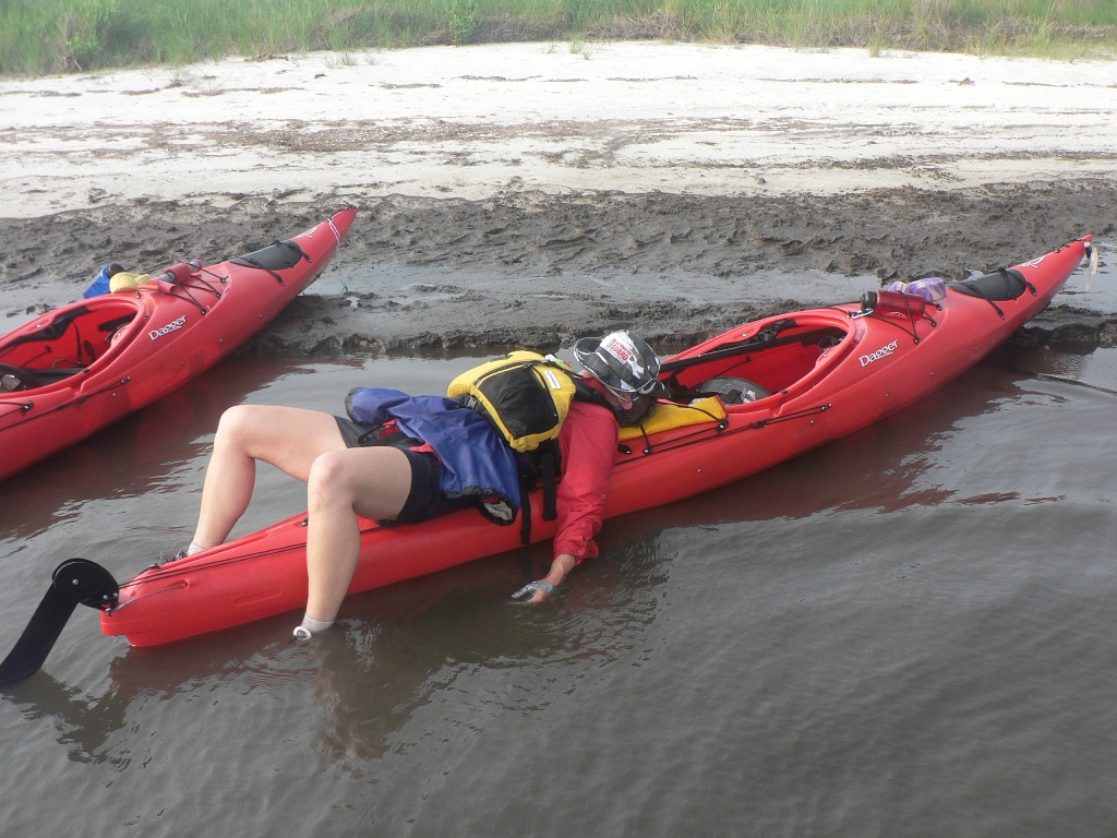 |
|
 |
The rest of us snacked and talked, and it was good. | |
| But eventually it became time to set off again behind the wind shadow of the island, before turning left and heading around the north end of the Cedar Island Bay before turning north again to skirt an actual landmass until reaching the Cedar Island ferry terminal. Horray. Unfortunately, we weren't counting on reaching more shallow secions and wound up having to drag all of our boats across a sand bar to reach the deeper channel near the shore. Weird. | 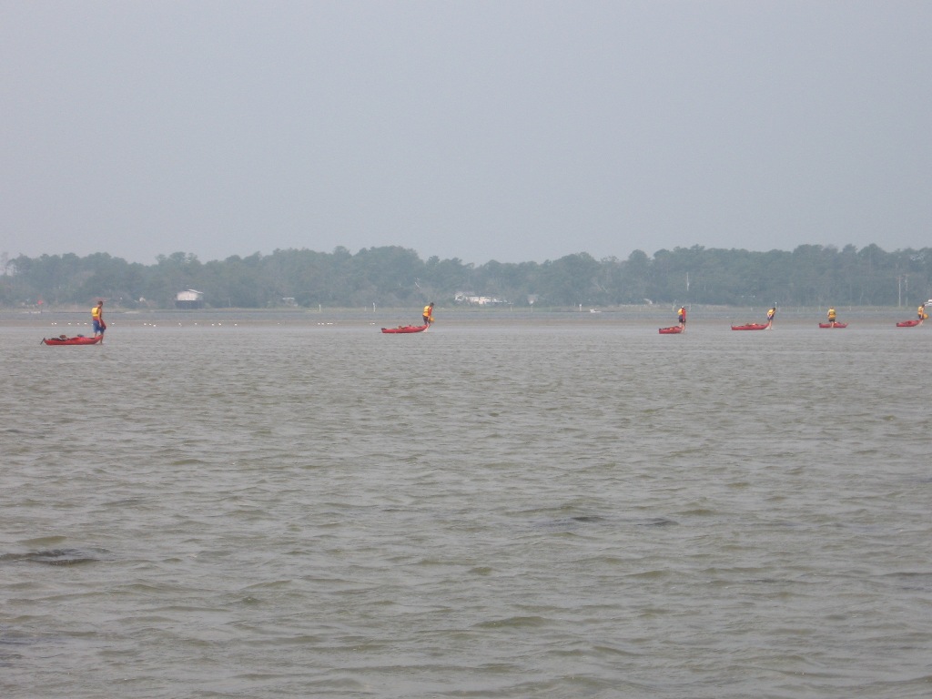 |
|
|
Landfall and Return Journey
| ||
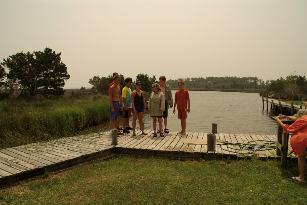 |
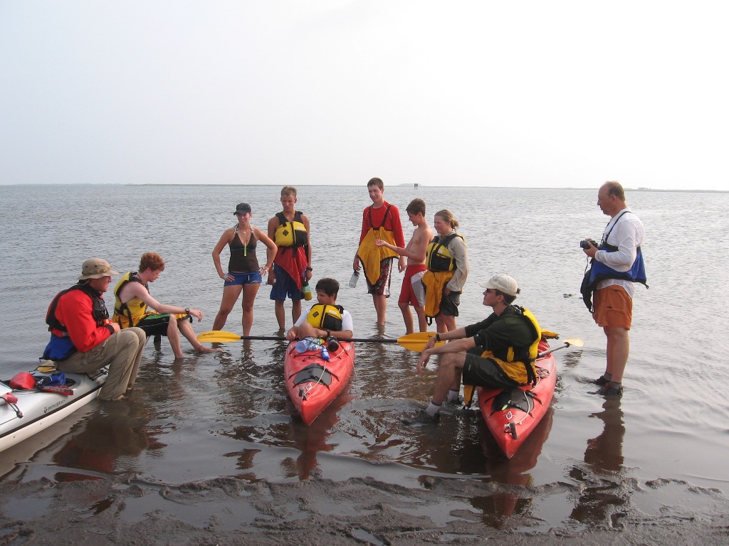
But finally we arrived at the ferry terminal's campground's boat ramp! We felt it appropriate to get a group shot (this one with Reggie) wit the take out in the background. | |
| Everybody smile! | 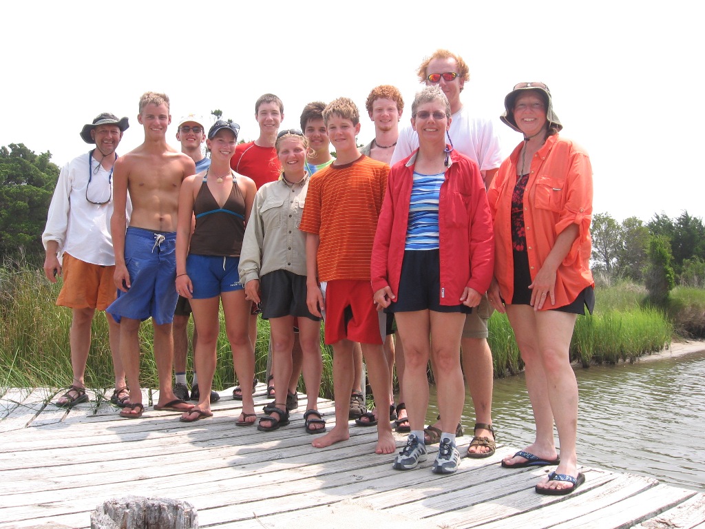 |
|
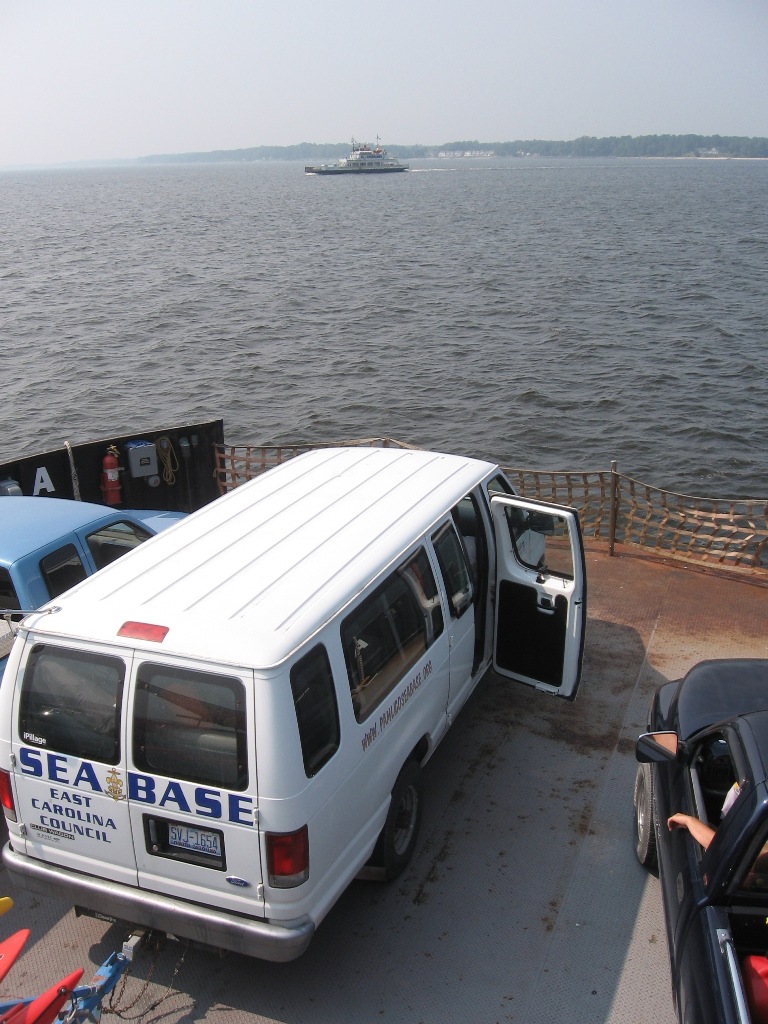 |
After getting cold, not overly chlorinated beverages from a convenince store and snagging lunch, we were on our way. We took the ferry again, much to my enjoyment. Man, that van really looks like it's going somewhere in life. | |
|
Base Camping
| ||
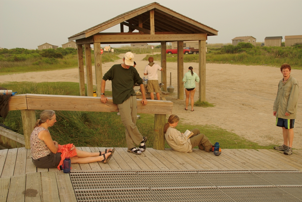
| So at this point, it's Thursday and we've paid for summer camp through Saturday. What to do? Well, first, we've got to clean up our stuff... | 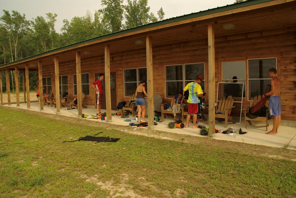 |
|
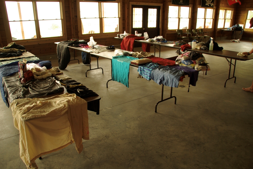 |
...and let it dry. Fortunately, as previously stated, we have the place to ourselves. | |
| But Friday was the day. We headed on down to Beaufort and first saw their maritime museum, complete with working boat shop. You can tell that everyone is so excited and well rested today after definitely not staying up until 1am watching movies. | 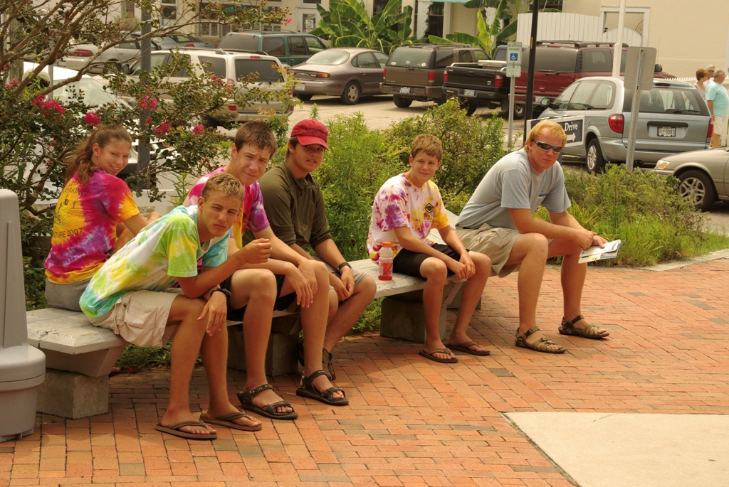 |
|
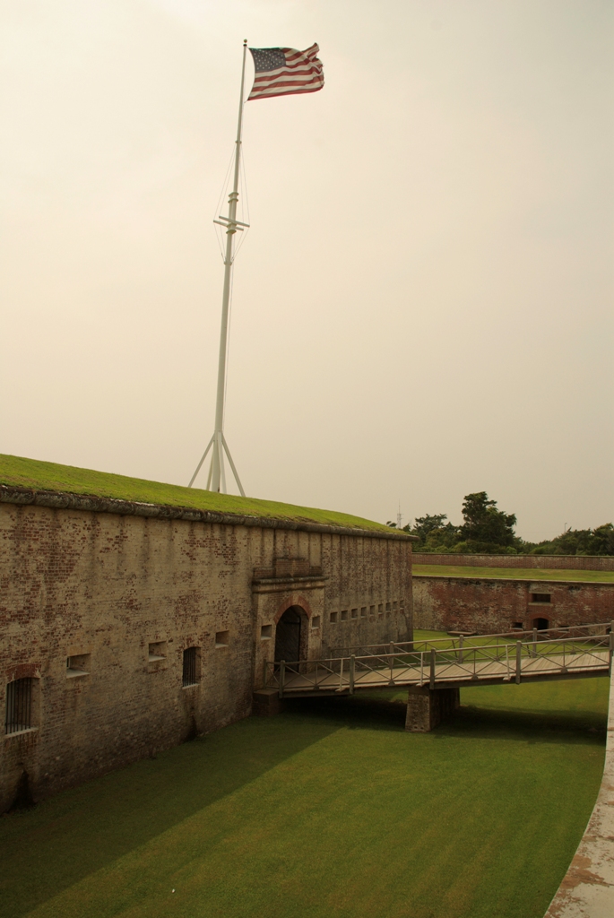 |
But after that, we had lunch and then headed on down to Fort Macon. Some of us went to the beach, while others (like me) who'd had enough sand already went to tour the old brick fort. | |
| It was cool, and I could tell you about it, but I really don't have the visual aides necessary. Just trust me, it was really interesting. | 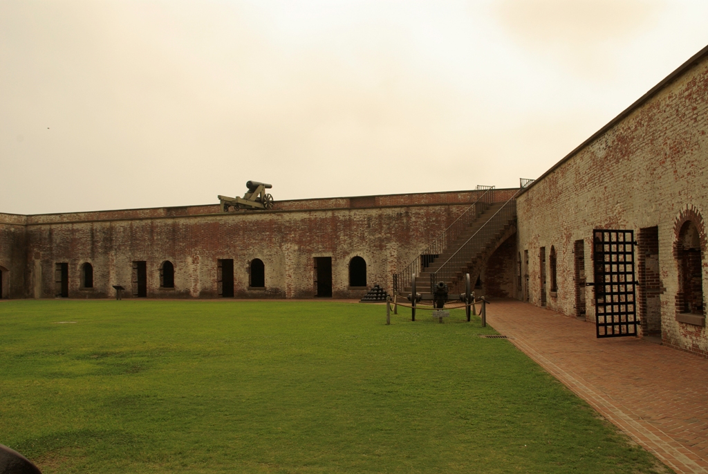 |
|
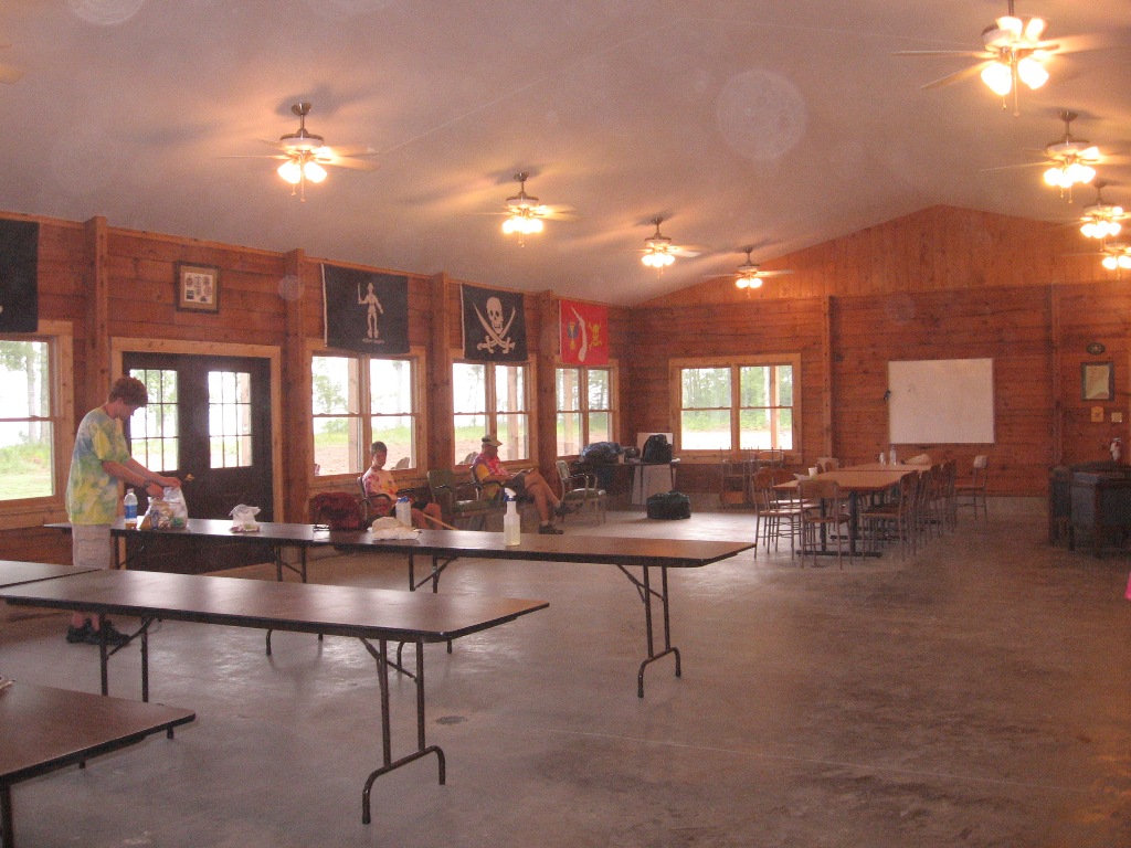 |
Eventually, we had to go back. Saturday came and we cleaned up the dining hall, which needed it even more after drying out our personal gear on the tables, eating on the other table, and bringing in our cots from the wall tents to sleep in its bug-free confines. All in all, a good plan, as far as I'm concerned. | |
| Then, it was time to go. Reggie and company did a great job, and maybe we'll get the chance to come back some day. |  |
|
|
|
|